Rain Pune: River Levels via Phone
By Asmita - Aug 21, 2025
Residents in Pune, India, are using smartphones to monitor rising river levels during heavy monsoon showers, creating a grassroots project that serves as a model for community-led environmental monitoring. This citizen science initiative relies on volunteers' photos and videos uploaded to shared platforms, offering a low-cost and effective way to track river status. Similar movements globally empower ordinary citizens to gather environmental data, showcasing the importance of such tools in disaster preparedness amidst intensifying climate change impacts.
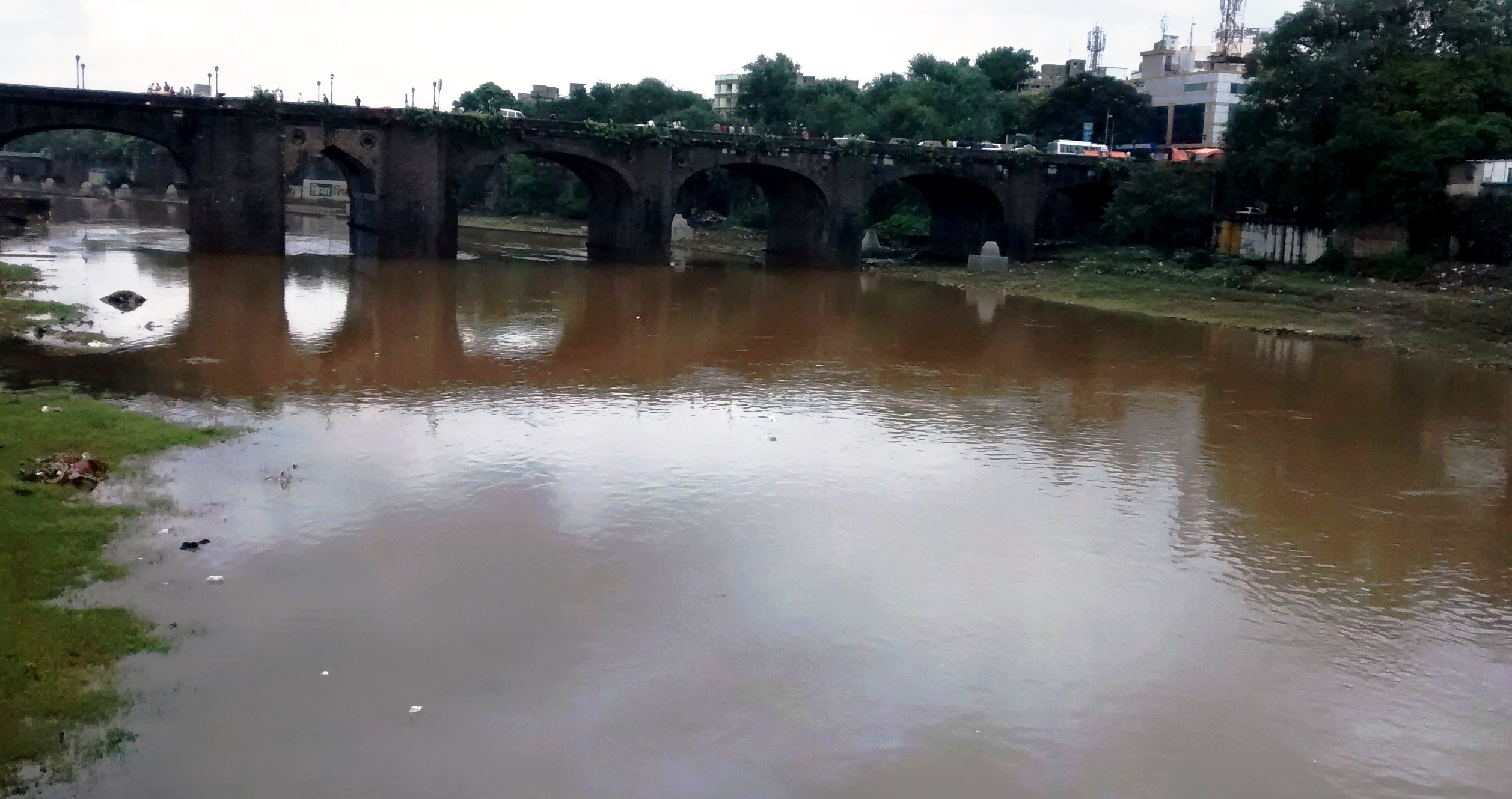
Mutha River near Pune Municipal Corporation via Wikimedia commons
Heavy monsoon showers have once again brought Pune, a bustling city in western India, face to face with the dual challenge of waterlogging and rising river levels. Across the globe, floods triggered by excessive rainfall are being monitored through sophisticated infrastructure, but in this city, many ordinary residents have taken on the task themselves. Armed with nothing more than their smartphones, they are documenting water levels of the Mula and Mutha rivers, two lifelines that cut through the city but frequently threaten its neighborhoods during intense downpours. Their actions are being noticed beyond India, seen as a model for low-cost, community-led environmental monitoring that others dealing with climate uncertainties might adopt.
The system is surprisingly simple yet effective. Volunteers visit different parts of the riverbank, capturing photographs and short videos of the waterline against bridges, embankments, and familiar landmarks. The images, tagged with GPS location and time, are uploaded to shared platforms, where they are compiled into a digital map of real-time river status. This grassroots project does not rely on advanced sensors or expensive government equipment, but rather on the power of collective observation. International experts studying citizen science initiatives note that such approaches decentralize disaster preparedness, putting tangible tools in the hands of those directly affected while creating an informal yet reliable warning network.
The initiative in Pune is part of a growing global trend where ordinary citizens become key contributors in gathering environmental data. Similar movements have taken root in flood-prone regions of Africa, Southeast Asia, and parts of South America, where professional monitoring systems remain limited and underfunded. What makes Pune’s example noteworthy is the scale of participation and the city’s expanding tech-savvy population, eager to use everyday devices for public welfare. Communication channels like social media groups and messaging apps act as the connective tissue, helping volunteers share updates instantly with thousands of residents, including those in vulnerable low-lying areas. These efforts also assist civic authorities, who are often overstretched during peak monsoon emergencies.
As climate change continues to intensify rainfall patterns across the world, the reliability of citizen-driven tools gains significant importance in global disaster preparedness. Pune’s ongoing experiment illustrates how accessible technology can bridge the gap between scientific research and community needs. By creating transparent, publicly accessible records of river levels during each storm, residents not only prepare themselves but also contribute valuable data that can inform international studies on urban flooding. The approach exemplifies how small-scale local actions, when widely adopted, could become part of global resilience strategies in tackling increasingly unpredictable weather.

_20250819T185144134Z.jpeg)
_20250819T183534915Z.jpeg)